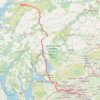
New gravel track built for power grid work in 2026 above Loch Long and Three Lochs Way
- Distance: 3.1 Km
- Elevation gain: 127 m
- Maximum elevation: 311 m
- Elevation loss: 158 m
- Minimum elevation: 156 m
Interactive trail map
Trail profile
- Distance: 3.1 Km
- Elevation gain: 127 m
- Maximum elevation: 311 m
- Elevation loss: 158 m
- Minimum elevation: 156 m
About this trail
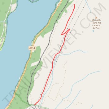
Name: New gravel track built for power grid work in 2026 above Loch Long and Three Lochs Way trail, distance, elevation, map, profile, GPS track
Start: A814, Ardgartan, Arrochar, Argyll and Bute, Scotland, United Kingdom (56.18431 -4.76464)
Coordinates: 56.16299 -4.77984 56.18431 -4.76457
Other hiking, mountain biking, running and outdoor activity trails
Click on a trail to view its statistics, map and profile.