July 4, 2026 at 3:02 PM
- Distance: 13.3 Km
- Elevation gain: 168 m
- Maximum elevation: 212 m
- Elevation loss: 177 m
- Minimum elevation: 167 m
- Moving time: 1 h 4 m
- Moving speed: 12.4 Km/h
- Maximum speed: 55.2 Km/h
- Total time: 1 h 22 m
- Global speed: 9.6 Km/h
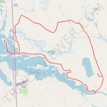
Interactive trail map
Trail profile
- Distance: 13.3 Km
- Elevation gain: 168 m
- Maximum elevation: 212 m
- Elevation loss: 177 m
- Minimum elevation: 167 m
- Moving time: 1 h 4 m
- Moving speed: 12.4 Km/h
- Maximum speed: 55.2 Km/h
- Total time: 1 h 22 m
- Global speed: 9.6 Km/h
About this trail
Name: July 4, 2026 at 3:02 PM trail, distance, elevation, map, profile, GPS track
Start: 2586, Acton Ridge Road, Newfield, York County, Maine, 04095, United States (43.61077 -70.93465)
End: 22, Sunset Trail, Newfield, York County, Maine, 04095, United States (43.61180 -70.93710)
Coordinates: 43.60588 -70.98028 43.63146 -70.93462