
Pacifico Mountain
Starting at Mill Creek Summit Picnic Area, a PCT access point on Angeles Forest Highway, the hike leaves the road and follows the Pacific Crest Trail into a dry high-country landscape of chaparral, manzanita, toyon, and open slopes.
After climbing above the highway, the route bends around Tie Canyon, crosses shaded drainages and fire-scarred ridges, then settles onto an airy crest with views opening toward Antelope Valley, the San Gabriel front range, and distant desert horizons.
Near Pacifico Mountain, the itinerary leaves the PCT at the summit-road junction, follows the dirt road toward the campground area, and finishes among pines, summit boulders, and broad mountain views on a prominent western San Gabriel summit.
#Hile #Mountain #Forest #Nature #Angeles #PCT #Summit
- Distance: 10.5 Km
- Elevation gain: 931 m
- Maximum elevation: 2,171 m
- Elevation loss: 265 m
- Minimum elevation: 1,503 m
Interactive trail map
Trail profile
- Distance: 10.5 Km
- Elevation gain: 931 m
- Maximum elevation: 2,171 m
- Elevation loss: 265 m
- Minimum elevation: 1,503 m
About this trail
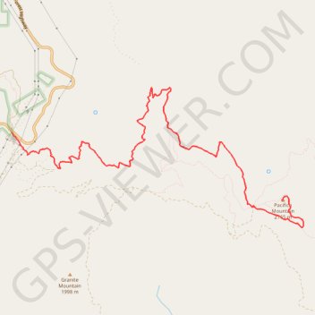
Name: Pacifico Mountain trail, distance, elevation, map, profile, GPS track
Start: Pacific Crest Trail, Los Angeles County, California, United States (34.39144 -118.08116)
End: Pacifico Mountain Summit Road, Los Angeles County, California, United States (34.38186 -118.03476)
Coordinates: 34.37800 -118.08116 34.39780 -118.03103