
Upper Table Rock Trail
- Distance: 2.8 Km
- Elevation gain: 230 m
- Maximum elevation: 623 m
- Elevation loss: 5 m
- Minimum elevation: 397 m
- Moving time: 56 m 35 s
- Moving speed: 2.9 Km/h
- Maximum speed: 5.0 Km/h
- Total time: 1 h 18 m
- Global speed: 2.1 Km/h
Interactive trail map
Trail profile
- Distance: 2.8 Km
- Elevation gain: 230 m
- Maximum elevation: 623 m
- Elevation loss: 5 m
- Minimum elevation: 397 m
- Moving time: 56 m 35 s
- Moving speed: 2.9 Km/h
- Maximum speed: 5.0 Km/h
- Total time: 1 h 18 m
- Global speed: 2.1 Km/h
About this trail
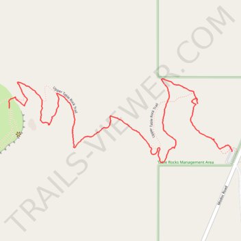
Name: Upper Table Rock Trail trail, distance, elevation, map, profile, GPS track
Start: Upper Table Rock Trail, Jackson County, Oregon, 97503, United States (42.46614 -122.88176)
End: Upper Table Rock Trail, Jackson County, Oregon, 97503, United States (42.46790 -122.89401)
Coordinates: 42.46570 -122.89403 42.46910 -122.88176