2013-11-10T17:14:45Z
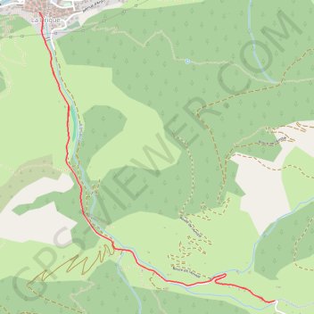
- Distance: 7.0 Km
- Elevation gain: 229 m
- Maximum elevation: 992 m
- Elevation loss: 229 m
- Minimum elevation: 775 m
Interactive trail map
Trail profile
- Distance: 7.0 Km
- Elevation gain: 229 m
- Maximum elevation: 992 m
- Elevation loss: 229 m
- Minimum elevation: 775 m
About this trail
Name: 2013-11-10T17:14:45Z trail, distance, elevation, map, profile, GPS track
Coordinates: 44.04305 7.61533 44.06237 7.63712
Other hiking, mountain biking, running and outdoor activity trails
Click on a trail to view its statistics, map and profile.
1 LUCENA - MONTPELLIER
Distance: 2,964.4 Km • Elevation gain: 29,500 m • Maximum elevation: 1,048 m
PT23DS2 Lörrach → Cadaqués
Germany > Baden-Württemberg > Landkreis Lörrach > Lörrach (Kernstadt)
Distance: 1,050.7 Km • Elevation gain: 13,130 m • Maximum elevation: 1,505 m