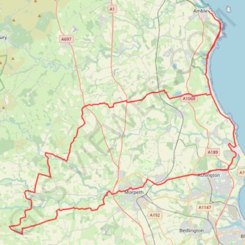
Amble - Bolam Lake Country Park
Interactive trail map
Trail profile
- Distance: 94.4 Km
- Elevation gain: 758 m
- Maximum elevation: 183 m
- Elevation loss: 754 m
- Minimum elevation: 0 m
About this trail
Name: Amble - Bolam Lake Country Park trail, distance, elevation, map, profile, GPS track
Coordinates: 55.12857 -1.89115 55.33372 -1.52636